Sharing data to support a safe return to the city centre
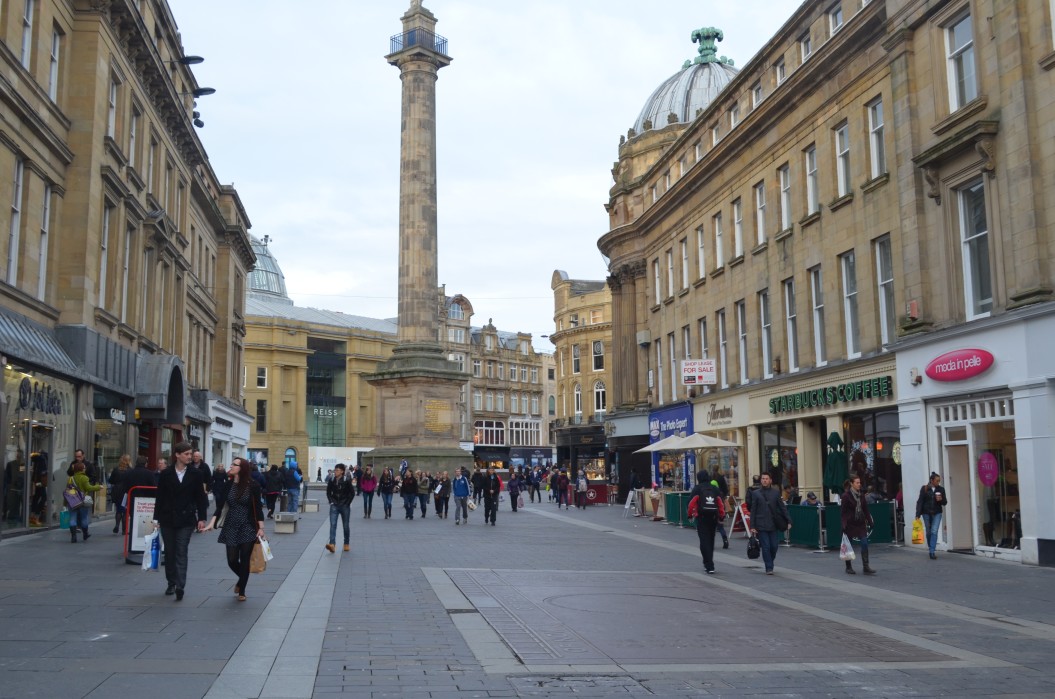
A web-based tool allows users to see webcam footage of the city centre as well as other information such as parking space availability and bus service information.
When social distance guidance and measures were introduced in 2020, citizens voiced concerns on congestion in the city centre.
Newcastle City Council and NE1 Business Improvement District wanted to help encourage people to return to the city centre after first lockdown, to support local businesses and the economic recovery of the city.
This led to the council working with partners to develop an innovative online information portal
Solving the problem
The Council joined with the Urban Observatory and National Innovation Centre for Data to develop a prototype online service called “How Busy is Toon?”
Open data from the Urban Observatory on footfall and car parking updated visitors on levels of congestion in the town centre. This allowed visitors to make informed decisions for their safety and comfort in light of the Covid-19 pandemic.
The site was awarded MHCLG Local Digital Covid-19 Challenge funding to develop the initial prototype and the concept of sharing data with citizens. Newcastle City Council appointed local software solution developers, hedgehog lab, to rebuild the site following an intensive user research phase.
The project aimed to understand user fears, motivations and opinions about visiting the city centre during the pandemic. As such, it follows Agile delivery principles, incorporating user research and service design into its activities.
Working in the open, the project hosted virtual show and tell events to update stakeholders on progress and share findings.
Key outcomes
The project produced a web-based tool that allows users to see webcam footage of the city centre as well as other information such as parking space availability and bus service information. The site has been accessed over 50,000 times with an average usefulness rating of over 90%.
Newcastle City Council is continuing to develop the website to meet changing user needs as the pandemic-related restrictions ease, including encouraging the use of public transport and active travel modes. This, alongside user feedback for more cameras, have been incorporated into an updated version of the site due for release later in 2021.
All of the code for the website and the user research is openly available for reuse by other Councils and organisations here.
Partners
Want to know more about this project?
Similar stories
Northumbrian Water: Interruption to Supply Risk Mapping using Spatial R Package
Jumping Rivers has worked with Northumbrian Water to develop a tool that identifies the risk of interruption to water supply.
Empowering patients and professionals with transformative technology
A renowned life science enterprise and Monstarlab worked to develop an innovation funnel for the company’s digital app services.
Strengthening data analyst skills to optimise battery systems
Embedding new data science skills into their organisation Working with NICD, Connected Energy...
PYRAMID real-time platform for flood risk assessment
Developing a digitally-enabled environment which benefits policymakers, businesses, communities and individuals
Connected homes as living labs for energy management technologies
55 homes in Newcastle have been fitted with equipment to become living labs for the energy sector.
Helping communities use sensors to solve local issues
SenseMyStreet is a toolkit that enables local communities to commission sensors that collect environmental data about their street.


