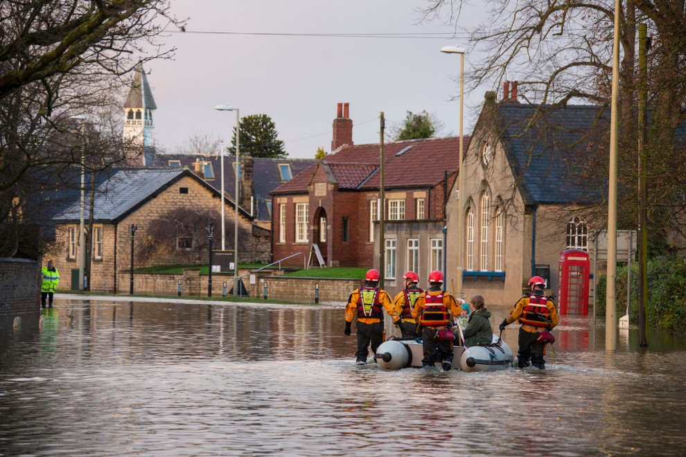
Flooding has been identified by the government as the number one priority and risk to the UK.
Flooding already causes millions of pounds worth of damage to people’s homes, infrastructure and the economy every year, and is projected to become even more severe under climate change.
Being able to plan for, respond to and manage flooding effectively is therefore essential.
Current operational flood models use meteorological data combined with elevation data to show us where flooding will occur. These models produce flood risk maps for planning and forecasting purposes and have helped us design flood defences for many areas.
However, flooding is not only dependent on the topography of an area. There are many other factors at play that evolve over time: culverts can get blocked, flood gates are left open and floodwalls can fall into disrepair.
Recent severe floods have been compounded by blockages from floating debris, limited maintenance of assets, and problems in the operation of flood defence schemes.
A wealth of data is available but it is often disparate, fragmented, unstructured, in various formats, and of inconsistent quality. Extracting and integrating the incredibly valuable information from these sources and incorporating it into models to effectively predict and assess flood risks in (near-) real-time is a huge challenge.
Solving the problem
PYRAMID is the Platform for dYnamic, hyper-resolution, near-real-time flood Risk AssessMent Integrating repurposed and novel Data sources.
The platform will develop a digitally-enabled environment that benefits policymakers, businesses, communities and individuals.
PYRAMID will demonstrate a new methodology and tool for assessing, analysing, monitoring and forecasting the state of flood risk at higher spatial and temporal resolutions than previously seen. This will enable greater capacity to explain and engage with stakeholders around flood risk than previously possible and will be fine-tuned with the project partners.
PYRAMID will lay the foundations for a ‘digital twin’ for flooding in a single city/catchment that is easily transferable to other UK locations.
The platform will be trialled in Newcastle to take advantage of existing government investments in the Urban Observatory and a legacy of flood research conducted here.


